East Menzies Project
Location
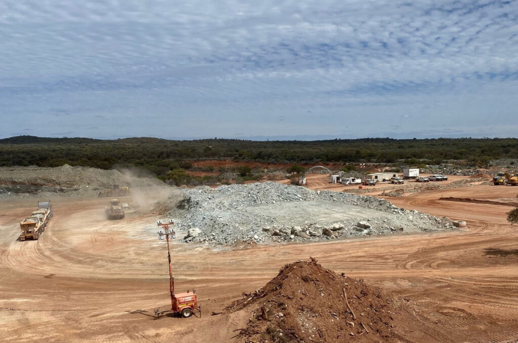
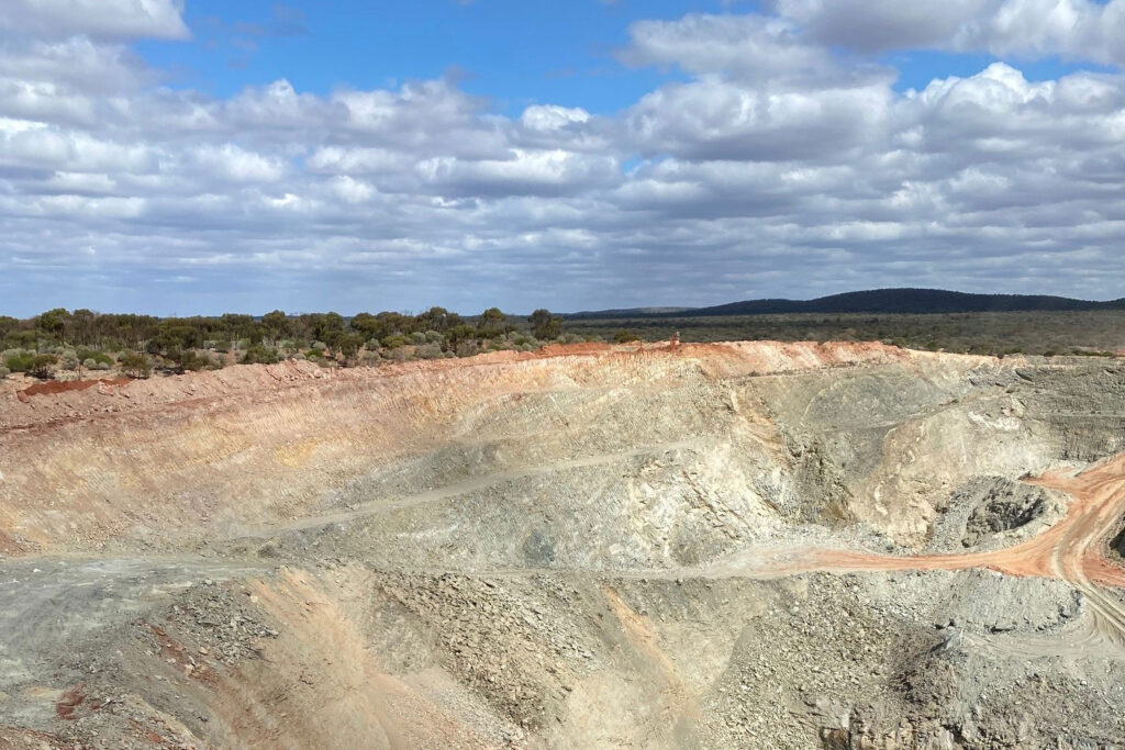
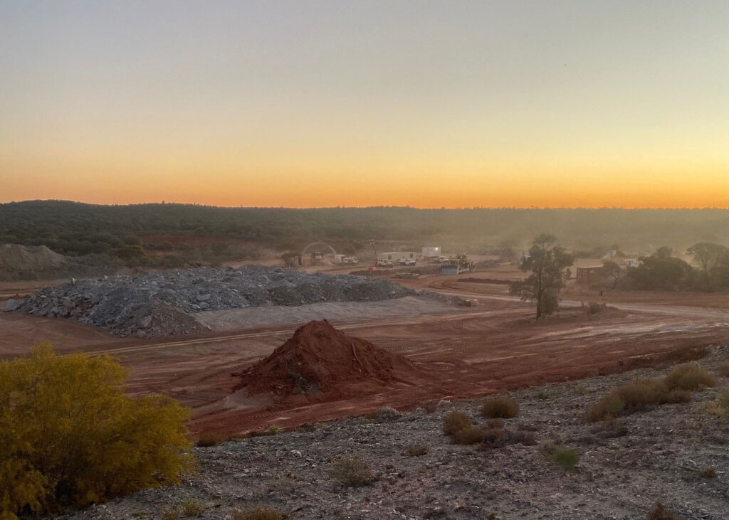
The East Menzies Gold Project is located 130km north of Kalgoorlie, with a collective surface area of 103km² and consists of over 50 tenements, a mixture of mining leases, mining lease applications, prospecting leases and prospecting lease applications. These mining and exploration instruments are host to a 20km continuous strike of a mineralised Greenstone Belt, including the Springfield Venn Gold Corridor, and the Goodenough Syncline.
History
Menzies is one of Western Australia’s major historic gold fields. Located 130km north of the globally significant gold deposits of Kalgoorlie. It has a rich history, with Gold first being discovered in the area in 1894. Like many gold-rush areas of Australia prospectors were fast to arrive on the scene. By 1900, Menzies had a population of approximately 10,000 with thirteen hotels and two breweries. Today Resources & Energy Group (REZ) is exploring and developing existing sites to uncover the treasurers left behind with a focus on gold and green metals.
Exploration Activities
The drilling and geophysical Investigations are targeting multiple prospects within the greater East Menzies Goldfield Project area including Gigante Grande, Maranoa, Granny Venn North and Oliver Twist Gold prospects and the Springfield Gold and Nickel prospect.
Gigante Grande
The Gigante Grande prospect has been subdivided into three geographical domains: Northern, Central and Southern. The drilling program will be targeting each of these areas. Commencing in the North, five areas of anomalous bedrock gold mineralisation have been identified. All of these are controlled by NW-NNW shear zones associated with movement along the Moriarty Shear Zone. A program of RC drilling has been prepared to drill test the Gigante North area. This comprises 7 holes for a combined advance of about 1200m of drilling. The locations of the holes are shown on figure 3.
Maranoa
The Maranoa is a granted Mining License (M29/427) and is being investigated as part of the Company’s strategy to identify near term and low capital cost mine development opportunities along the western side of the East Menzies Project area. In May 2022, the Company completed a program of shallow RC investigations at Maranoa. This work generated numerous high-grade intervals of shallow gold mineralisation, with peak assays of 5m @ 7.95gt/au from 3m, including 1m@ 32.7gt/au from 6m in MR24 (2) , offering potential for open cut mining development.
The drilling program has been designed to test whether there is any continuity in the Sunday, Birthday Gift and Lady Min line of workings, and whether these additional lode systems can be bulked together to support a larger scale of mining operations integrated between M29/427 and M29/434. Seven holes, with a cumulative meterage of 560m are planned to test this concept.
Granny Venn North
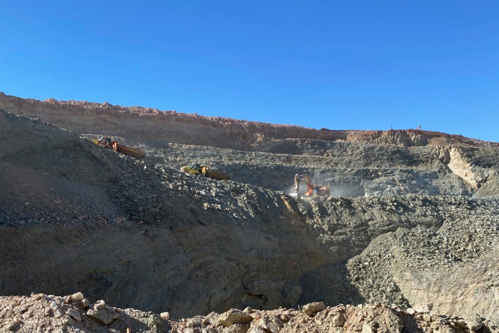
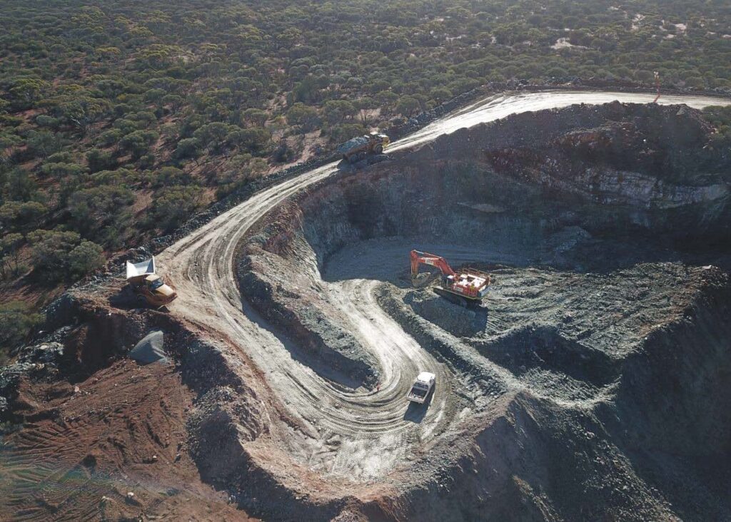
Recent mining within the Granny Venn Cut back identified a potential extension to the resource in the northern end of the pit highwall. The presence of a high-grade shoot had previously been speculated by the Company and was confirmed by the final rounds of blast hole drilling in the pit which intersected a number of high-grade intervals of gold mineralisation in the pit floor.
The mineralisation trend established from mining is 0260 with a gentle plunge to the north. This orientation aligns with the Springfield Venn Corridor, which continues further north.
Resource modelling of the final Granny Venn Pit void identifies the extension as a potential flat lying body of mineralised rocks trending north, into P29/2622, 2623 and 2624. Three holes for an advance of 440m are planned to test this extension.
There is a considerable strike length of untested ground between Granny Venn and the most northerly prospects at Cock Robin. The Company will be investigating opportunities for repeat occurrences of the Granny Venn orebody which would be amenable to underground or open cut mining development.
Oliver Twist
The Oliver Twist Prospect broadly encompasses the area of convergence between the Moriarty Shear Zone on the east and the Springfield Venn Shear Zone on the west. In 2020 the Company completed several lines of Air-Core and RAB drilling over this prospect and one pilot RC hole. The REZ drilling intersected shallow mineralisation in ultramafic including 7m @ 1.33gpt from 39m and 4m @ 1.07gpt from 53m from borehole 19SVRC005. The air-core work identified several zones of anomalous +50ppb au in bedrock mineralisation.
The proposed program of work has been designed to test the most prospective of these, which are represented by boreholes 20EMAC129, 134, and 140. Three scout holes are planned for an advance of 450m to test these occurrences. These RC holes will also provide guidance on depth of regolith and lithology for future exploration planning. The locations are shown on figure 5.
Springfield
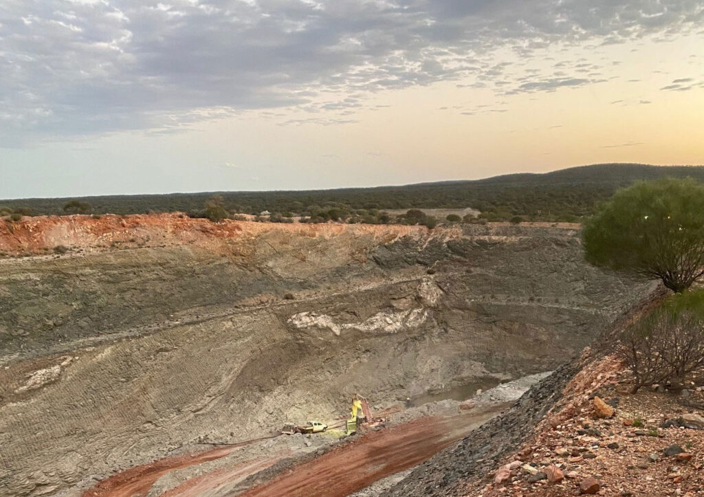
The Springfield area was identified by the Company following a review of historical exploration and gold mining activities. The documented occurrences of sulphides north of Springfield at Cepline are also prospective features for the occurrence of volcanogenic nickel and base metal.
The Springfield Prospect geology comprises a highly deformed and altered sequence of Archean rocks which include:
- Upper Mafic – High Mg basalts
- Sedimentary- Pyritic chert, slate, banded amphibolite, fuchsite, tuffaceous metasediments
- Lower Ultramafic – Meta-komatiites
Scout drilling carried out over the prospect by the Company in late 2021 intersected a number of zones of disseminated sulphides. Multi-element analysis over selected intervals from this drilling returned significant intervals of anomalous mineralisation with a peak down the hole result of 1m @1.78% Ni, 5% S, 269ppm Mo and 245ppm Cu from 98m in SFRC01 .
Petrological investigations on a suite of samples from the scout program confirmed the presence of recrystallised Ni-Fe sulphides of primary magmatic origin. These were hosted within a meta-birbirite, which is a highly silicified form of komatiite.
The confirmation of magmatic Ni-Fe sulphide mineralisation is a significant and material exploration result for the Springfield Project and the East Menzies Package in general. It allows for the possibility that the ultramafics and nearby lithologies may host larger accumulations of disseminated and massive Ni-Fe sulphides.
A review of the corrected AIP modelling has since been carried out by NewGen Geo Pty Ltd, together with some plate modelling by consulting Geophysicist Kelvin Blundell. Collectively, this work has been used to identify potential targets for drill testing and to assist in the design of a Moving Loop Electromagnetic (MLEM) survey over Springfield Prospect. The survey will comprise 685 stations distributed along 25 lines @ 200m line spacing. These lines are principally located over the prospective komatiite basement which extends between the Cepline and Emu Prospects at Springfield. The planned MLEM stations are shown on figure 6.


